The NSTS has formed a committee to advocate and plan for the creation of an inter-Community Active Transportation (i-CAT) link between the villages of Silverton and New Denver.
Radio spot about the i-CAT
June 2, 2026: Keith Wiley of “EcoCentric,” interviews i-CAT advocate Miranda Hughes on Kootenay Co-op Radio.
Connecting two neighbourhoods
New Denver and Silverton are separate villages from a legal standpoint, but functionally speaking they are two neighbourhoods in the same community, separated by a mere 2 miles (3.5 km):
- Basic services and amenities are shared between New Denver and Silverton (social events, health care, community halls, post office, grocery store, hospitality services, retail outlets, etc.)
- Population in the region is concentrated in the two villages
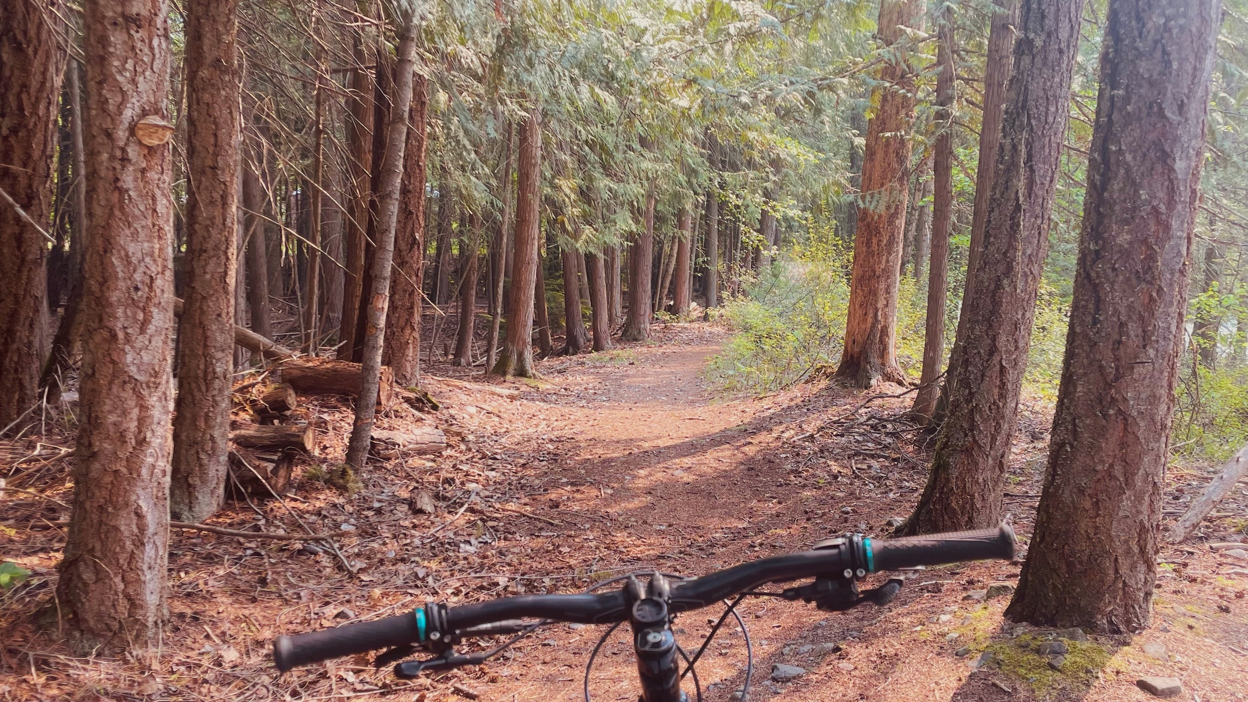
- Current active transportation networks connect smaller hamlets (Hills, Rosebery, Three Forks) to New Denver, but the connection to Silverton is missing from the network

Why here?
In larger centres, active transportation infrastructure is often put in the “nice to have” category, and pathways and networks may or may not be fully built yet. At a first glance it might seem to belie entitlement that the tiny population in the New Denver / Silverton area is clamouring for something that many larger municipalities are still working to build. But people in larger villages and cities typically already have several non-driving options for travel within their local area:


- A local public transit almost certainly exists
- There may be a para-transit systen
- There will be taxis +/- ride-hailing
- Their main roads will have sidewalks for pedestrians and mobility devices
- They will have a variety of quiet-street routing options to allow them to avoid busy intimidating roads with high traffic speeds
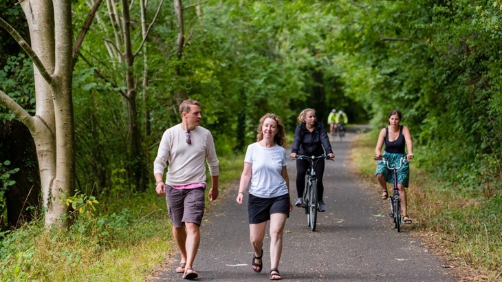
Silverton and New Denver have none of these alternatives connecting their respective neighbourhoods. A multi-use active transportation corridor would be the most affordable and realistic additional option to have.
We are car dependent
The automobile industry promises us the freedom of the open road but we’re not free if we’re forced to own and drive a motor vehicle whenever we want to go somewhere. Despite being an active community with an enduring appreciation for the outdoors, we have no reasonable choice but to use an automobile to get between our villages, even when we would prefer another option. People need choices besides driving, because car dependency:
- Contributes to climate change
- Is a barrier to aging in place
- Is a barrier to people with disabilities
- Inhibits youth from healthy independence
- Is a major drain on personal finances
- Removes opportunities for building active living habits
- Has other negative externalities: accidents, injuries, the cost of providing copious parking space at every amenity, reduced health and fitness, noise, harm to wildlife, pollution etc.
Why now?
Changes to demographics, regional roads, economics, the environment and transportation policy have compounded over the last couple of generations and have made an alternative to the highway more and more urgent and necessary:
- Increased tourist traffic along the highway
- Increased industrial traffic along the highway
- Sight-line and realignment improvements have increased driving speed
- Our communities are aging; older folk are less likely to be able to drive
- The graduated licensing system prevents teens from getting fully licensed for driving during high school
- Lifestyles are increasingly sedentary; activity that is woven into daily life through active transportation is an important way to mitigate this
- Climate change is a pressing problem, and 70% of carbon emissions in the RDCK come from transportation


But…
“That roadbed is so narrow!“

“Won’t it be complicated?”

“But a feasibility study seems so expensive!”

“Won’t it cost millions to build?”

Timeline, Past to Present
1970s – 2010: Many community members dreamed of a lakeshore walking trail between New Denver and Silverton that would be a scenic recreational asset.
2011 – 2017: The New Denver – Silverton Trail Society is formed to examine the feasibility of a lakeshore walking trail. A consultant is engaged and concludes that extensive private land parcels make lakeshore routing currently impossible, and instead recommends that a route mostly within the highway 6 right-of-way is the best choice. Unable to find a feasible scenic hiking route either along the lakeshore or high above the highway, the Society folds.
2018: The North Slocan Trails Society receives records and assets from the previous Society and looks for people interested in championing the idea of a connection between New Denver and Silverton for non-motorists.
2021 – 2022: Phil Whitfield and Miranda Hughes form the ad hoc i-CAT Committee under the umbrella of the NSTS and develop a modified vision. The i-CAT Link will be focused primarily on active transportation, and routed in a manner consistent with the previous consultant’s report. Preliminary discussions are held with local politicians, the MOTI and active transportation planners.
2025: The i-CAT White Paper is released, a visioning document which explains the local context and makes a case for an all ages and abilities (triple-A) active transportation pathway between New Denver and Silverton. This document serves as an introduction and advocacy tool. The i-CAT Link is adopted as a priority issue by the RDCK’s Citizens’ Advisory Council on Rural Mobility.
Although there are currently no large active transportation infrastructure funding streams, it becomes clear that it is important to have a coherent vision and some of the preliminary costing and scoping done so that applications can be submitted efficiently when funds do open up. Although local governments are expected to take the lead of active transportation infrastructure, those in our area have limited administrative capacity and could benefit from preliminary work being done by a citizens’ group or non-profit organization such as the NSTS [i-CAT Committee].
2026: The i-CAT Committee undertakes to do some of this preliminary work. With grant funding from the Slocan Valley Legacy Fund, they secure proposals and cost estimates for a full-scale feasibility study for the i-CAT Link from two different active transportation planning firms, as well as for the processing of LiDAR (3D terrain modelling) data to assist with the slope and route analysis that would need to be undertaken at this next stage. This preliminary work is being shared with local governments in the hope that they can access funding opportunities and advocate for the development of the i-CAT.